A New Eye on the World's Forests
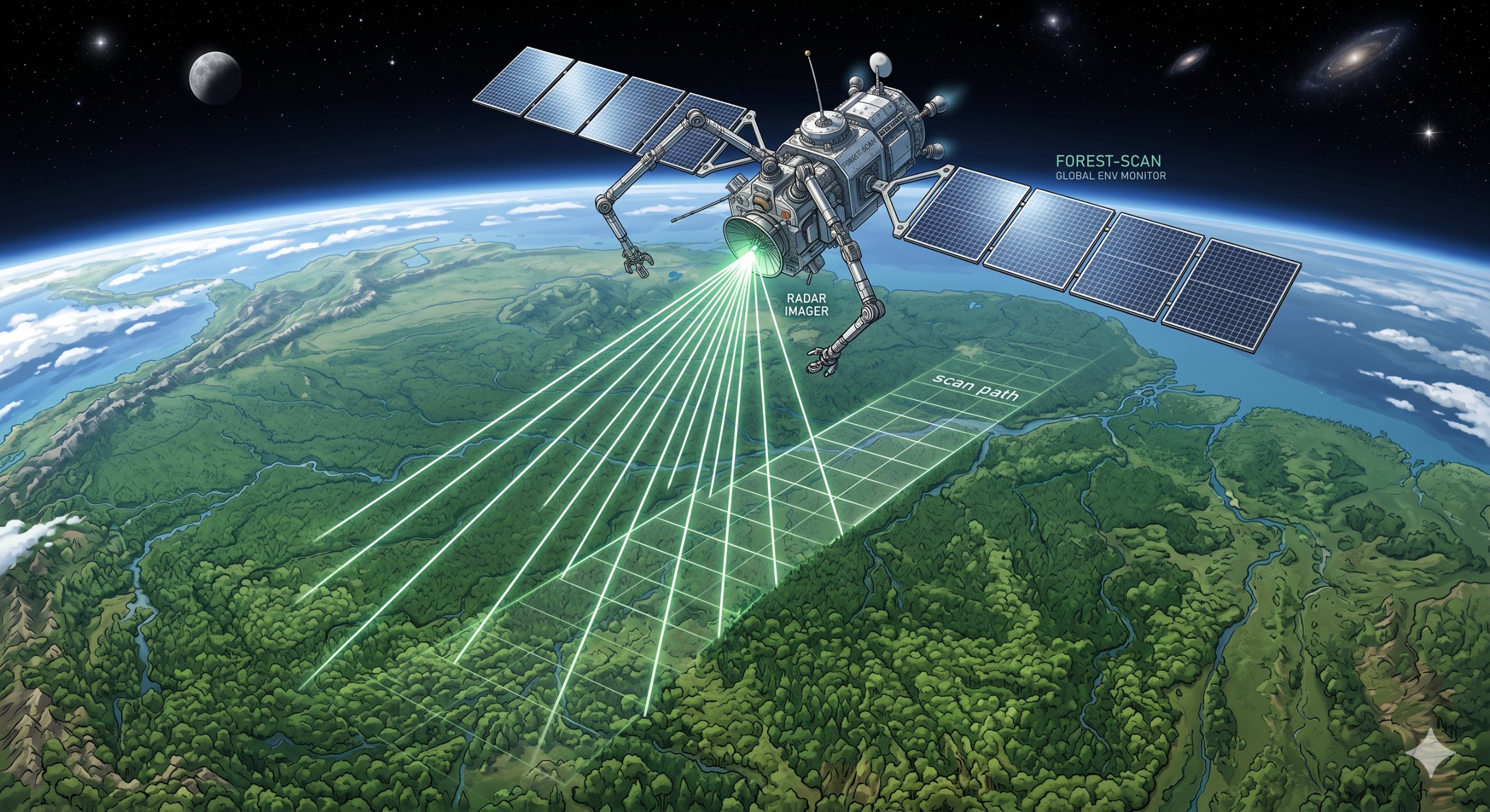
The European Space Agency (ESA) has achieved a major milestone in Earth observation with the successful launch of its Biomass satellite, a mission years in the making that promises to transform our understanding of the planet's forest ecosystems. Carrying the first P-band synthetic aperture radar (SAR) ever deployed in space, Biomass will pierce through forest canopies to measure the structure and carbon content of woodlands worldwide with unprecedented accuracy.
Understanding how much carbon is stored in the world's forests is one of the great unanswered questions of climate science. Current estimates rely on a patchwork of ground measurements, airborne surveys, and optical satellite imagery — each with significant limitations. Optical satellites see only the tops of trees. Ground measurements, while precise, are sparse and logistically challenging. The result is a carbon accounting system with margins of error large enough to undermine climate policy decisions.
Biomass aims to fix that. By using P-band radar — operating at 435 megahertz with a wavelength of about 70 centimeters — the satellite can see through clouds, smoke, and foliage to measure the woody structure of forests directly. P-band waves penetrate the forest canopy and scatter off trunks and large branches, allowing scientists to estimate the total woody biomass in a given area. From that, they can calculate the carbon stored within.
How P-Band Radar Works
Synthetic aperture radar works by bouncing microwave signals off the Earth's surface and analyzing the return signal. The longer the wavelength, the more material it can penetrate. X-band (about 3 cm wavelength) sees the top of the canopy. C-band (about 6 cm) sees a bit deeper. L-band (about 23 cm) sees through light foliage. But only P-band — with its roughly 70 cm wavelength — penetrates dense tropical forests all the way to the ground.
When a P-band pulse hits a forest, part of the signal reflects off the canopy, part penetrates deeper and reflects off branches and trunks, and a small portion reaches the ground. By analyzing the full return signal across polarizations — the satellite can transmit and receive in both horizontal and vertical orientations — scientists can reconstruct the three-dimensional structure of the forest. Advanced techniques like polarimetric interferometry allow the radar to measure the height of the scattering center within the canopy, distinguishing between young regrowth and old-growth forest.
The result is a direct measurement of above-ground biomass density — the dry weight of all living vegetation above the soil — at a resolution of about 200 meters. Over the course of its five-year mission, Biomass will produce global maps of forest biomass and height, updated at least twice per year.
Mission History and Launch
The Biomass mission was selected in 2013 as the seventh Earth Explorer mission in ESA's Living Planet Programme. After more than a decade of development, it launched aboard a Vega rocket from Europe's spaceport in Kourou, French Guiana. The satellite entered a sun-synchronous orbit at an altitude of approximately 666 kilometers, where it will operate for at least five years.
This orbit was chosen carefully. To maintain the precise orbital track needed for repeat-pass interferometry — a technique that compares radar images taken on different passes to measure change — Biomass uses a frozen dawn-dusk orbit. This keeps the satellite in constant sunlight, simplifying power management, and ensures consistent imaging conditions.
The launch was not without challenges. P-band frequencies are heavily used by ground-based radars, air traffic control systems, and military applications. ESA had to negotiate rigorous spectrum-sharing agreements with national telecommunications authorities around the world to secure the frequency bands needed for the mission. The satellite's radar transmitter was also subject to strict power limits to avoid interfering with other users of the P-band spectrum.
What Biomass Will Tell Us
The primary goal of the Biomass mission is to produce a global map of forest above-ground biomass at a resolution and accuracy never before achieved. This map will serve as a baseline — a detailed inventory of how much carbon is stored in the world's forests at the start of the mission.
From there, the satellite will monitor changes over time. Deforestation, forest degradation, regrowth, and the effects of wildfires and logging all change the carbon stock. By tracking these changes, Biomass will help answer critical questions: Are the world's forests a net carbon sink or source? How quickly are tropical forests losing their stored carbon? Where are the best opportunities for forest-based climate mitigation?
The data will feed directly into the Global Stocktake mechanism of the Paris Agreement, providing an independent measurement of forest carbon that countries can use to verify their reported emissions and removals. It will also support the UN's REDD+ program (Reducing Emissions from Deforestation and Forest Degradation), which uses financial incentives to encourage developing countries to protect their forests.
Beyond carbon accounting, Biomass will map forest structure in three dimensions, revealing the architecture of forests from the ground up. This will improve our understanding of forest ecology, biodiversity, and the role of forests in the water and energy cycles. It will also provide data of practical value for sustainable forest management, helping to estimate timber volumes and assess fire risk more accurately.
A Changing Landscape
The Biomass mission arrives at a critical moment. Tropical forests in the Amazon, Congo Basin, and Southeast Asia continue to face pressure from agriculture, logging, and mining. Boreal forests in Canada and Siberia are being transformed by wildfire and climate-driven pest outbreaks. Temperate forests are regrowing in some regions while being cleared in others.
At the same time, forest-based climate solutions — planting trees, protecting existing forests, improved forest management — have become central to national climate strategies. The voluntary carbon market, where companies buy credits from forest conservation projects, has grown rapidly. But the market has been plagued by controversies over the quality of the credits, often stemming from disagreements about how much carbon a given forest actually stores.
Biomass promises to bring hard data to these debates. When a project claims to protect a forest containing a certain amount of carbon, Biomass can check. When a country reports its forest carbon emissions to the UN, Biomass can verify. This independent measurement capability could transform the integrity of forest carbon markets and climate reporting.
Technical Innovations
Building a space-qualified P-band radar was a significant engineering challenge. The antenna, an array of 12 deployable panels measuring 12 meters by 5 meters when fully unfurled, is the largest radar antenna ever built for an Earth observation satellite. It had to be folded compactly for launch and then deployed with millimeter precision in the vacuum of space.
The radar electronics were designed to operate in a particularly challenging radio environment. Because P-band is used by numerous terrestrial systems, the satellite's receiver uses sophisticated filtering to reject interference while retaining the weak natural backscatter from forests. On-board processing compresses the data significantly — the radar generates enormous volumes of raw data that would be impossible to downlink continuously.
ESA worked closely with European industry on the mission. Airbus Defence and Space was the prime contractor, leading a consortium that included companies and research institutions across Europe. The payload was developed by Thales Alenia Space and the radar instrument by Airbus Spain.
The Broader Earth Explorer Fleet
Biomass joins a distinguished family of Earth Explorer missions that push the boundaries of Earth observation technology. Earlier missions in the series include GOCE (measuring Earth's gravity field), SMOS (soil moisture and ocean salinity), CryoSat (ice sheet thickness), Swarm (magnetic field), and Aeolus (wind profiles). Each has demonstrated that innovative space-based instruments can deliver measurements that are fundamentally new, not just incremental improvements on existing capabilities.
ESA is already planning the next generation. The Earth Explorer 11 mission, selected in 2023, will carry a high-resolution thermal infrared instrument to measure the temperature of the Earth's surface at unprecedented spatial and temporal resolution. The program's commitment to novel measurement techniques ensures a steady stream of discoveries about the Earth system.
Looking Ahead
As Biomass settles into its operational orbit and begins the months-long calibration and validation phase, the scientific community is preparing for a flood of new data. The first global biomass maps are expected within two years, with higher-resolution products for specific regions following thereafter.
For climate scientists, forest ecologists, and policymakers alike, the promise is clear: for the first time, we will have a direct, satellite-based measurement of the carbon stored in the world's forests, tracked over time with consistent methodology and global coverage. It is a capability that has been urgently needed and is now, finally, arriving.
|> Disclaimer: This article is published for informational purposes only and reflects publicly available information about the ESA Biomass mission as of its launch date.